No products in the cart.
Nazca
All You Need to Know About Nazca Lines – Part 2
This article is a continuation of a blog series.
If you missed the first part, check it out here.
How Were the Nazca Lines Made?
When it comes to knowing precisely the real things that happened in the past, it’s always a challenge. Even the scientists and archaeologists can only make a guess when it comes to some ancient objects and the complexes of some archaeological artifacts. The Nazca Lines and how they came to be is no exception.
However, the findings of most archaeologists bring us to the same spot; these Nazca lines were made with technology that was available before the common era. They revealed the lighter-yellow sand by raking back the top layer of the rocky soil, which had deep brown-red color after thousands of years of weathering. This distinct variation in color created lines that are visible from miles away.
The Nazca people could create small models that they used to get the proportions of their designs right and to scale up the maps, they used stakes and ropes. Some of which have been found by archaeologists over the years.
These Nazca lines can be seen from the window of a plane. They look fantastic from that angle, but you can also view them from elevated land, for instance, plains that surround the foothills. Therefore, we wouldn’t be wrong if we said that the Nazca people checked their work from elevated ground in the nearby hills.
How Old Are the Nazca Lines?
Over the years, there has been an intensive study of the geoglyphs. On top of that, researchers made a comparison of the Nazca lines with other manifestations of contemporary art forms. And the findings suggest that the age of Nazca lines can be divided as follows in chronological order:
- The Middle and Late Formative (500 BC-200 AD)
- The Regional Development Period (200 AD- 500 AD)
- The Paracas Phase (400- 200 BC)
- The Nasca Phase (100 BC- 500AD)
According to anthropologists, the Nazca culture began around the time of 100 BC and flourished from AD 1-650-700. Also, some of the geoglyphs may have been created by the people of Paracas culture who were predecessors of the Nazca people.
The plain that the Nazca people inhibited had parched and arid soil that never seemed to weather. In this region, there is very minimal disturbance by the winds.
Also, the precipitation in this region is slightly over only a few millimeters per year. And that is why the furrows that were dug thousands of years ago remain virtually untouched over all those years.
How Big are the Nazca Lines?
The straight Nazca lines run up to 30 miles. On the other hand, the figures range somewhere between 50 to 1200 feet (around 370 m) in length.
As for the individual designs of the geoglyphs, they measure between 400 meters and 1100 meters (0.2 to 0.7 miles).
And if we are considering the combined length of all the lines, then we have a total range of 1,300 km (810 miles) covering a total area of 50km2. (20 sq miles)
The depth of the lines is 10-15 cm, which is precisely 4-6 inches. As for the width, that could vary depending on a wide range of factors, but most of them are just over 30 cm (1 foot) wide. In some areas, the lines have a width of 1 foot, but in other regions, they could be 1.8 m wide.
With that in mind, let’s take a look at specific measurements of some of the designs:
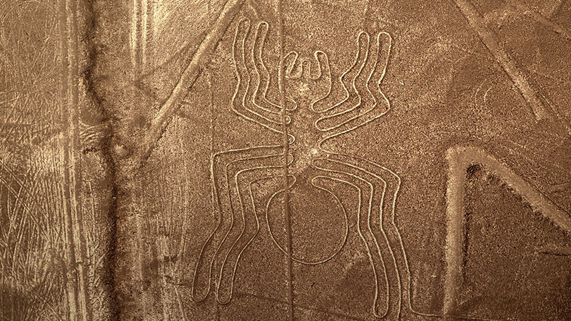
- The Spider: 46 meters (150 feet)
- The Hummingbird: 50 meters (165 feet)
- The Monkey: 110 meters (360 feet)
- The Pelican: 285 meters (935 feet)
- The Killer Whale: 65 meters (210 feet)
- The Condor Bird: 135 meters (443 feet)
To continue reading more about the Nazca lines, click here for part three.